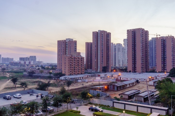
Many people believe that Indian cities are sprawling simply because they are growing. It can be difficult to distinguish between sustainable urban growth, disorderly growth and urban sprawl. To avoid misrepresentation of sprawl with one or two variables, urban researcher Reid Ewing and his collaborators created a four-factor index - residential density, the amount of land use segregation, the concentration of population and jobs in the city’s Central Business District and in sub-centres, and the connectivity of the city's street network.
By this index, Indian cities are sprawling along three of the four factors.
First, Indian cities have land use regulations that encourage segregated zoning instead of mixed land use. For instance, Mumbai’s Development Plan of 1991 does not allow for mixed land use and instead demarcates residential, commercial and industrial zones to prevent over-commercialisation of areas. Similarly, the Chennai Master Plan of 2006 also segregates land into categories like residential, commercial, industrial, institutional and so on, freezing land that could otherwise be utilised more productively. Freezing vacant land to maintain archaic land use regulations harms the productivity of firms.
Second, Indian cities are unable to redevelop and densify urban centres, leading to decentralised growth. Since Indian cities usually do not follow a monocentric urban form, functions common to varied industries such as a major transport hub, a compact labour market or even social functions like major universities and schools tend to be dispersed across multiple centres. In cities like Atlanta where transportation is efficient and rapid, this is an externalised problem that shows up in the form of higher emissions. In India, where the street network is small and poorly planned, and traffic is a major problem, people simply cannot access sub-centres that are far away, thereby negatively impacting productivity. As a result, both CBDs and sub-centres have fewer residents and jobs than they would have otherwise.

Finally, the street network has poor connectivity, with many dead ends. Ad hoc approvals for the construction of buildings that ignore the larger urban form of a city leave little room for planning an efficient street network. In some cases, this causes street networks to be unplanned, narrow and running at full capacity. By one recent estimate, the share of land in public open spaces in Lower Parel, Mumbai is just 12%. The share of land in buildings is 49%, while 39% is wasted on privately owned legally mandated set back areas.
This area is a classic example of the confusing high density of buildings that is not commensurate with high density of people. The former provides a false sense of lack of space. Lower Parel faces an artificial scarcity of land because of vacant mill land being locked up as a consequence of a tedious and expensive land use change process. Redevelopment by freeing up land for mixed land use or for improvements of the street network is, thus, effectively impossible in Indian cities. Hence, basic urban infrastructure is crumbling under the pressure of congestion and is inadequate to sustain future expansion.
 |
With regard to the density measure, Indian cities are unique. Between 1990 and 2014, the share of total population growth on the peripheries of Mumbai, Hyderabad and Kolkata was 53%, 89% and 91% respectively. This would seem to indicate sprawl. However, from a total gain of about 7.9 million people, while the peripheries of Mumbai added 4.2 million people, the core has also gained 3.7 million people. The rate of growth of population on the peripheries may be higher but the actual number of people in the center is still even more so. This growth took place at high densities when compared to cities in the West. Thus, by the OECD definition which focuses on density as the major indicator of sprawl, Indian cities are not sprawling. But this may not mean that Indian cities are growing in a healthy way.
Are Indian cities sprawling? When comparing Indian cities to those in the West, urban areas are expanding differently. A unique index to measure and characterise growth in the cities of high density developing countries could help create a more local and precise depiction of conditions in India. What is clear is that Indian cities are dominated by informality, and that growth is both unplanned and un-managed in terms of the level of infrastructure and the urban layouts.
Informality can be difficult to quantify. One way of measuring it is by identifying subdivided land that did not follow land subdivision regulations of regular plot dimensions, paved roads, pavements and streetlights. Although the plot sizes may be different, they are more or less laid out along straight roads with regular intersections and standard widths. As per the data from 17 Indian cities, on average, 33% of residential areas were built in informal land subdivisions in the area of cities that grew up to 1990. That share has gone up to 50% between 1990 and 2010. The data on residential areas in formal land divisions, meanwhile, showed a drop from 27% on average to a mere 8% over the same period.
These are not the characteristics of sprawl, but instead paint a picture of necessary but disorderly growth. To tackle these issues at their origin, we must analyse the causes of disorderly growth in Indian cities.


